

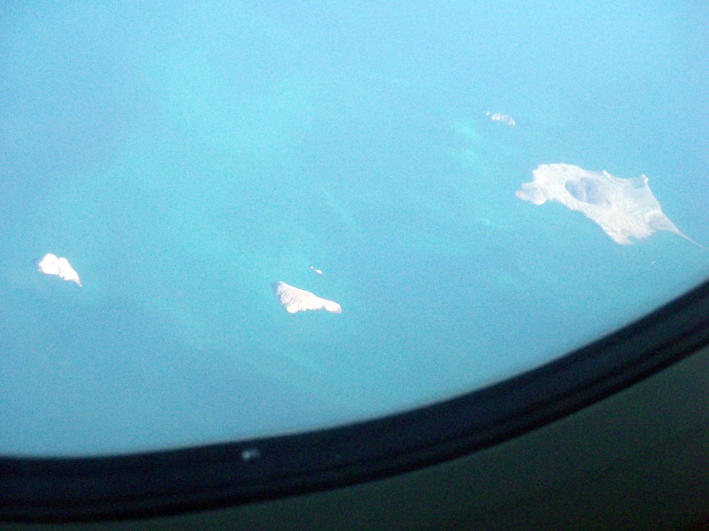
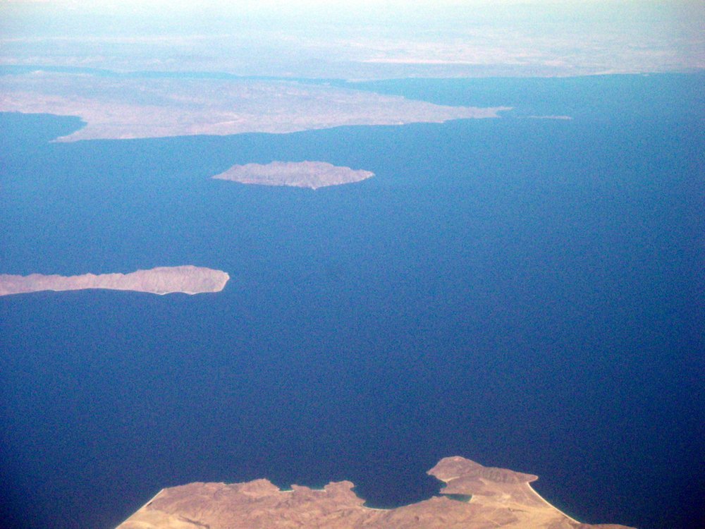
Furthest north and to the south of San Felipe are Las Islas Encantadas ("The Enchanted Islands"). Closest to the coast, El Huerfanito ("The Little Orphan") was directly below the plane and therefore hidden from view, but the rest could be seen: from left to right, i.e. north to south Islas Miramar (AKA El Muerto), Lobos, Encantada, and the largest San Luis, with tiny Pomo (Pumice Island) hiding behind. The name of the latter gives a clue to the volcanic origins of these islands.


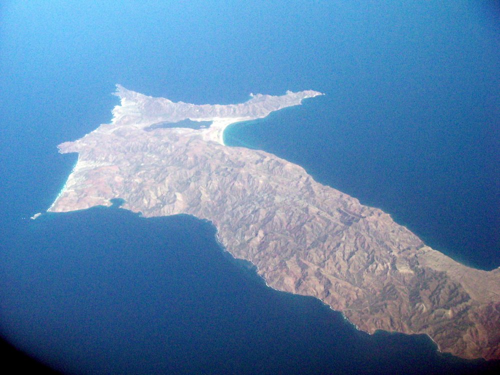
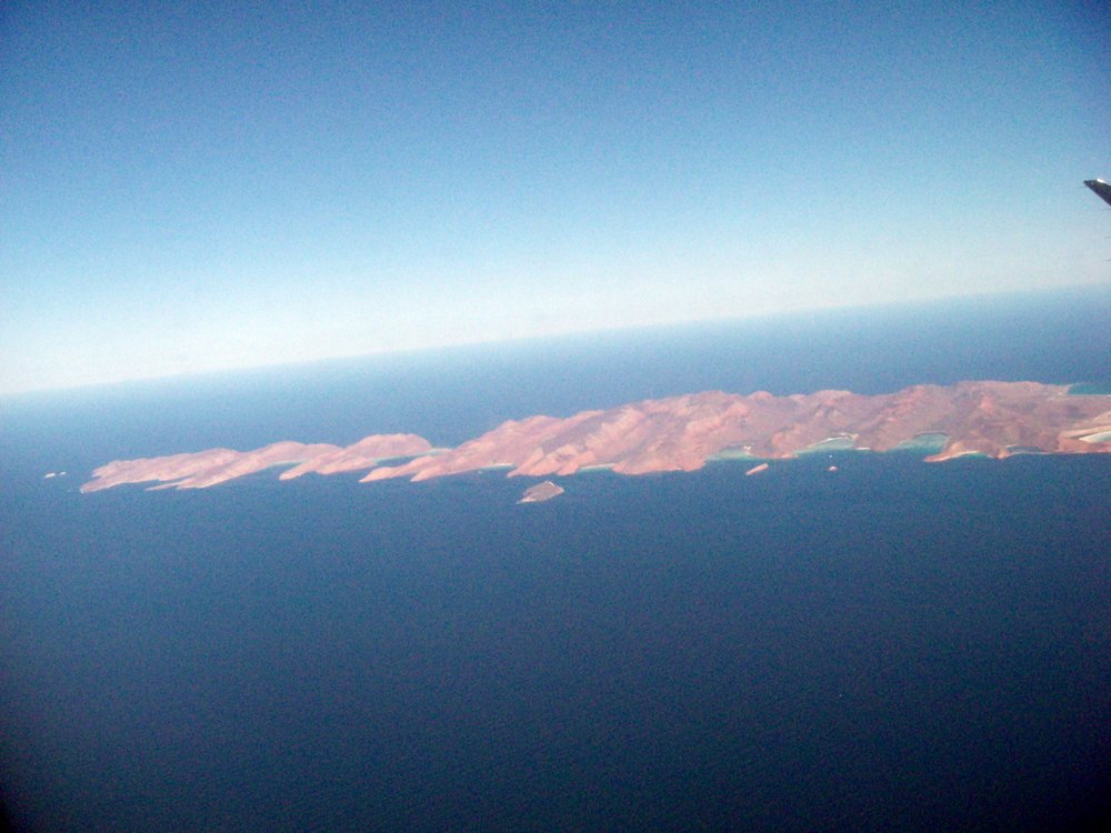
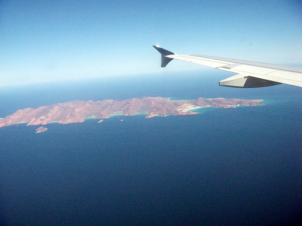
Just three or four minutes later and the next group came into view: Las Islas Grandes, known in English as The Midriff Islands. Isla Angel de la Guarda ("Guardian Angel"), the second largest of all the islands in the Cortés, with little Mejia off its northern tip, lives up to its name, protecting Bahia de Los Angeles ("Bay of the Angels") and the smaller islands, i.e. Angels within it from the more open deeper sea to the east. Angel de la Guarda is known as Xazl Iimt in the indigenous Seri language, meaning "home of the pumas", but there are no pumas to be found there now: there are no reliable freshwater sources. The most significant island in the bay is Coronado, with its volcano of the same name at the northern end. The bay is separated from the large island by the Canal de las Ballenas ("Channel of the Whales"), where humpbacks, finbacks and several other whale species can be found over the course of the year.

On the coast of Sonora to the east, and fully a third larger than Angel de la Guarda, is the largest island in the Cortés. Isla Tiburon ("Shark Island") was previously inhabited by Seris, who call the island Tahéjöc, but is presently uninhabited. At this point the sea is crowded with islands, with Esteban and the San Lorenzo archipelago between Tiburon and the peninsular mainland. This archipelago includes San Lorenzo itself, as well as Las Animas and Salsipuedes ("Leave if you can!" or the more poetic Seri: Tatcö Cmasol It Iihom, meaning "where the yellow sardines are"). The Spanish name also applies to the channel between the archipelago and the peninsula, so named due to the whirlpools which adversely affect navigation.
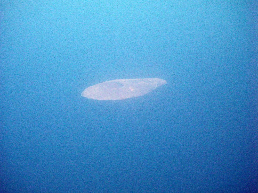

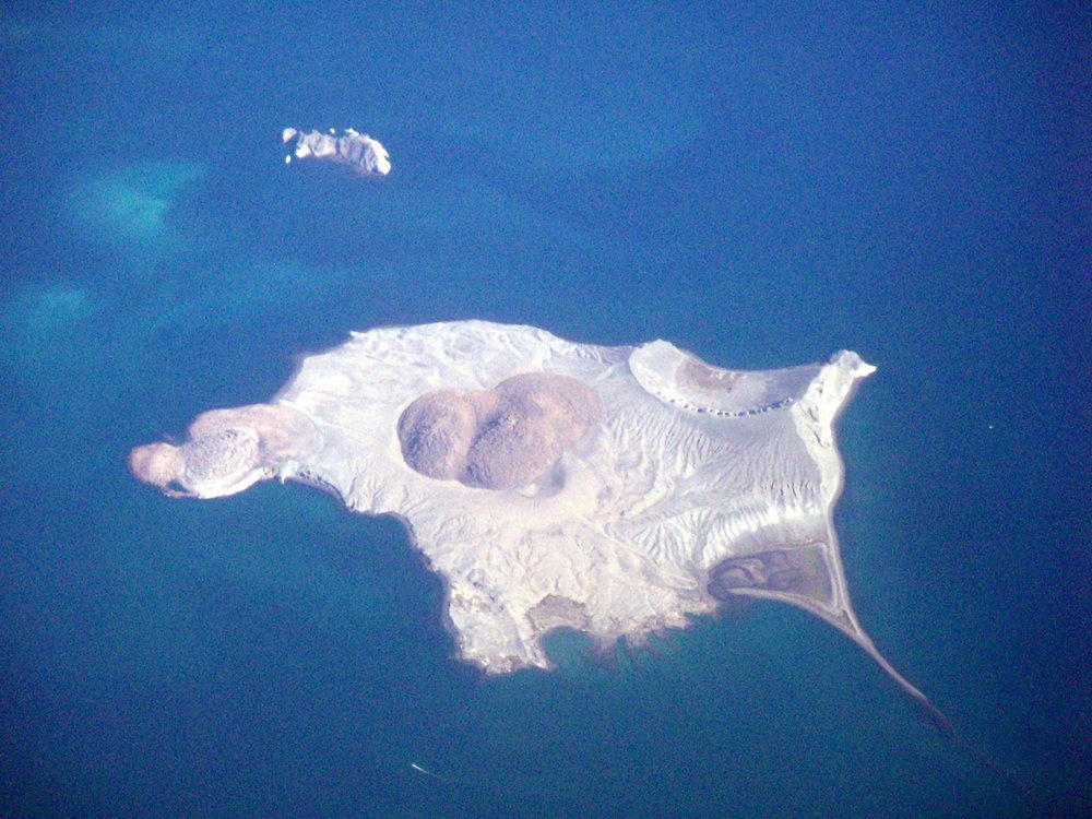
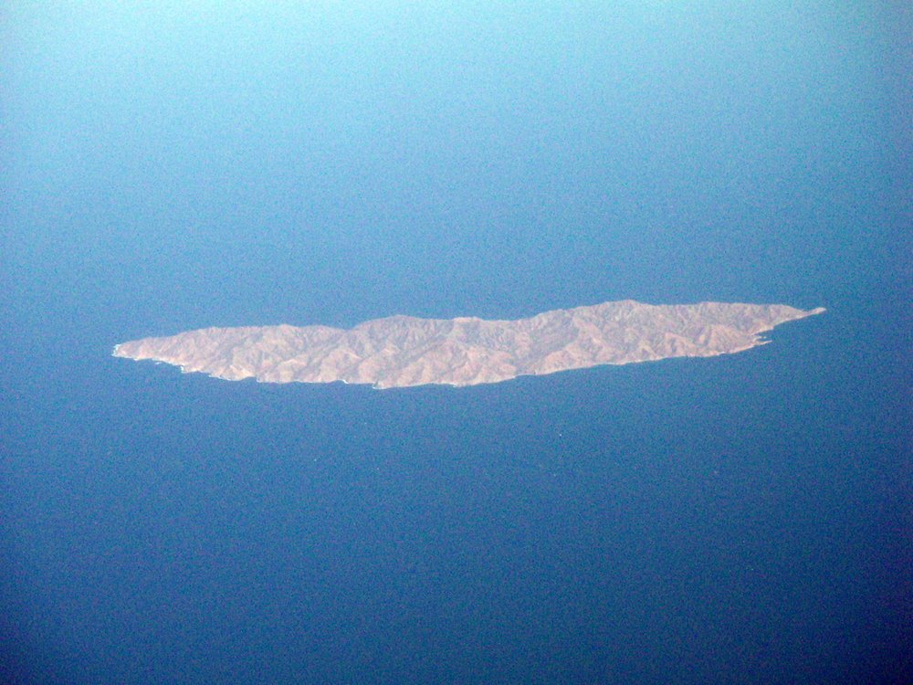
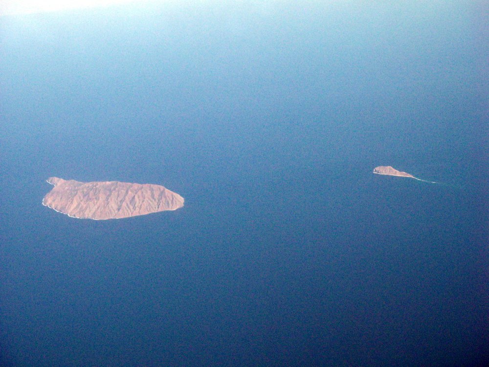
Ten minutes beyond the Midriff Islands and you're in Baja California Sur and flying directly over Santa Rosalia, which on this occasion precluded an aerial view of Isla San Marcos, but Tortuga ("Turtle Island"), with its 100m deep volcanic caldera was there to be seen. Then off Punta Chivato lies Isla Santa Ines, and just beyond Bahia Concepcion lies tiny isolated Isla San Idelfonso.

Next comes Loreto Bay, a national maritime park since the 1990s. with the much-visited Isla Coronados, and the largest of the group Carmen.

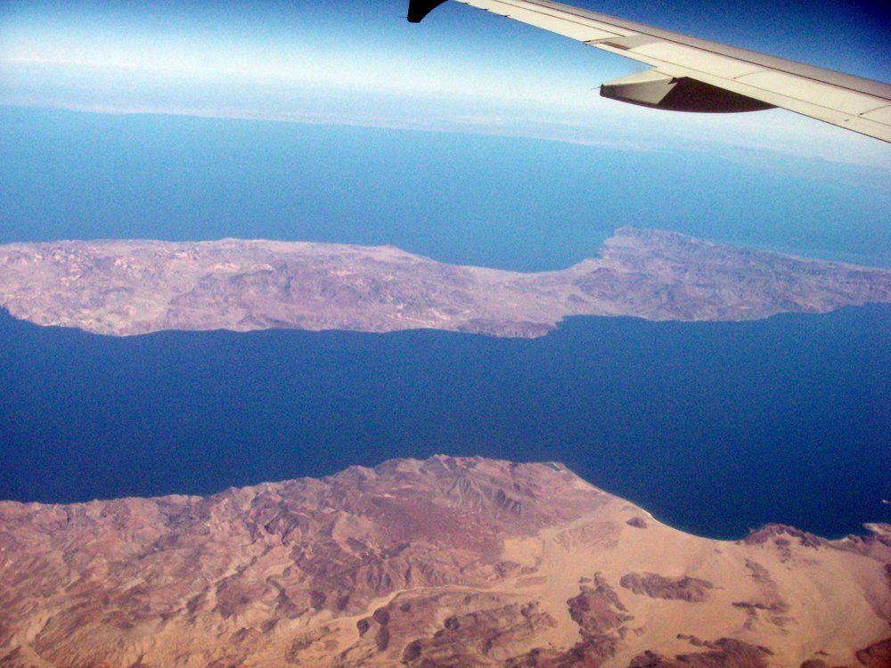
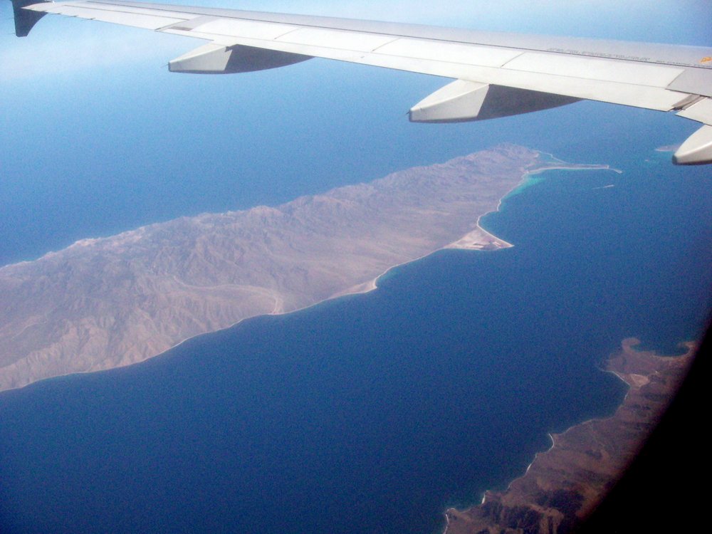
Danzante was out of view, but Monserrat and Santa Catalina 60km to the south of the town of Loreto could be seen clearly, something not possible from the main transpeninsular highway. 40km further south is Isla Santa Cruz, with Isla San Diego (which looks a bit like a mouse).


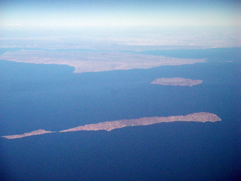
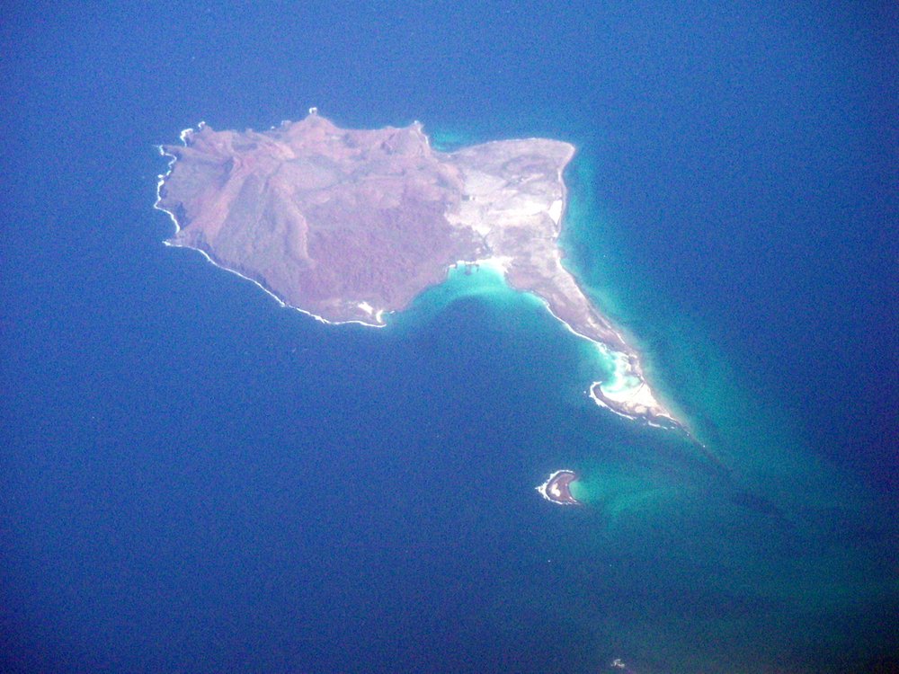
Off San Evaristo (80km north of La Paz) lies Isla San Jose and the much smaller Isla San Francisco.
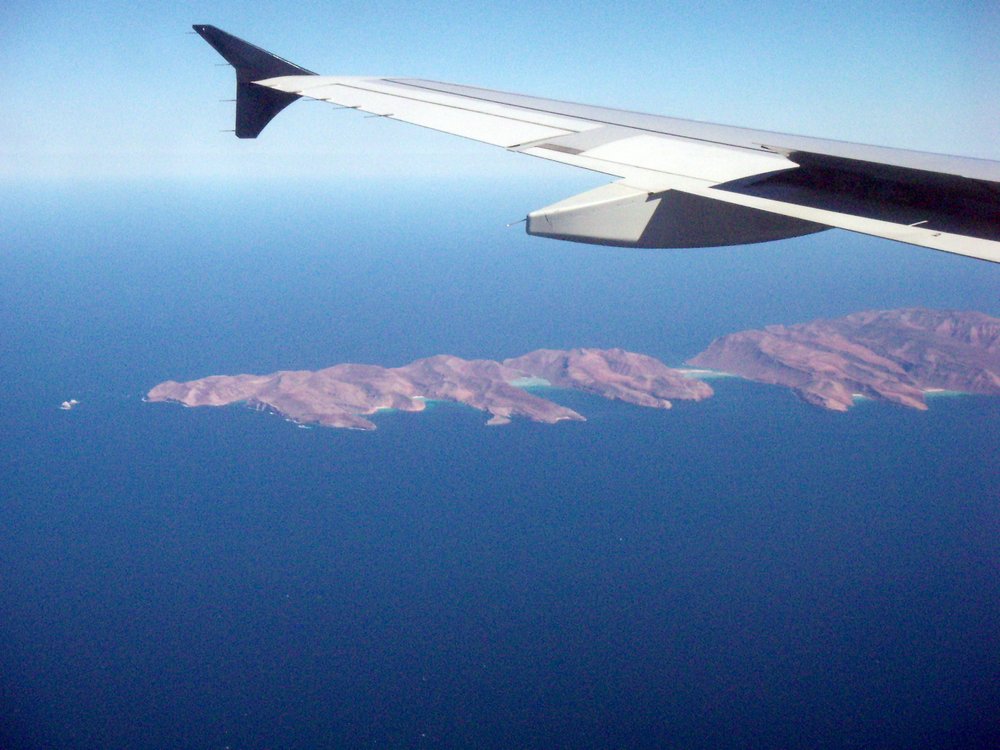
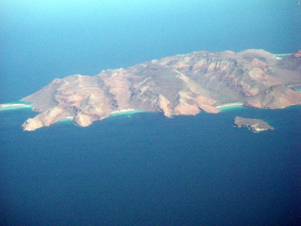
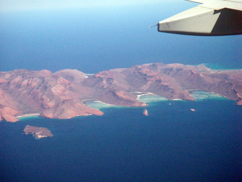
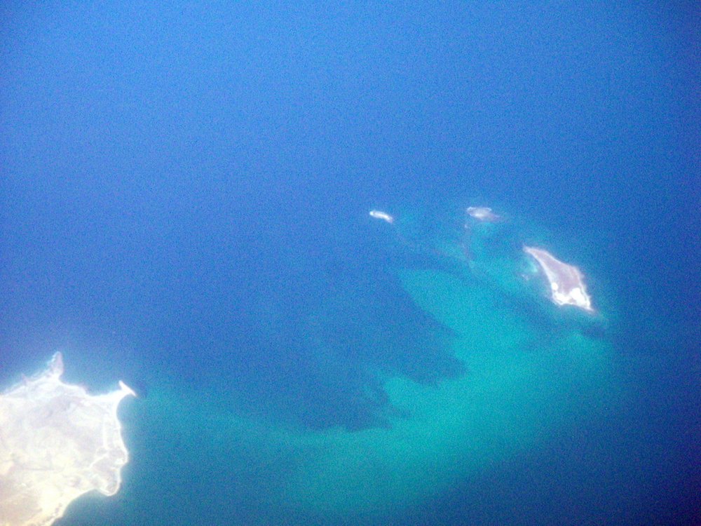
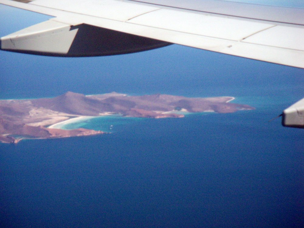
Finally, to the north of La Paz, the tiny Los Islotes, home to a 500-strong colony of sea lions, Isla Partida and Espiritu Santo, the latter two connected by a narrow isthmus. The topography here is distinct from elsewhere in the Cortés. A boat excursion to these islands is a popular daytrip from La Paz.
There is one major island on the Cortés coast we were unable to see, since it is to the south of La Paz: Isla Cerralvo, which was officially renamed Isla Jacques Cousteau in 2009. This was in recognition of the late marine explorer, who first coined the phrase "The World's Aquarium" to sum up the marine diversity in this part of the world.